They trusted us:


Stay up to date with news from the world of travel! Follow the XOXO blog to get inspiration for new journeys and gain valuable travel tips and tricks. If you love the world, people and foreign cultures, this is the place for you!
The Canary Islands archipelago consists of seven large islands and several smaller ones that are permanently uninhabited. The most well-known and visited islands are the largest: Gran Canaria, Tenerife, Lanzarote and Fuerteventura. Due to its proximity to the African continent, there is a pleasant climate for sightseeing year-round, and in summer the weather is ideal for beachcombing. However, what to visit if we're not fans of lying flat on the beach? Here's our subjective list of places worth seeing in the Canary Islands.
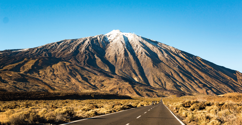
It is the largest National Park in the Islands. Located around the Teide volcano (3718m above sea level!), it tempts with the incredible lunar landscapes characteristic of the region. In 2007, Teide National Park was declared a UNESCO World Heritage Site. It is especially recommended to visit in spring, when everything is in bloom and you can find plant species endemic to Tenerife.
One of the largest water parks in Europe, opened in 2008. An ideal attraction for families with children. It has a beach, plenty of slides, an artificial wave reaching 3m, an area for small children (up to 3 years) and many other attractions, so there is something for everyone. There are also food and beverage outlets in the park, so if you get hungry after the water frenzy you won't have to look far.
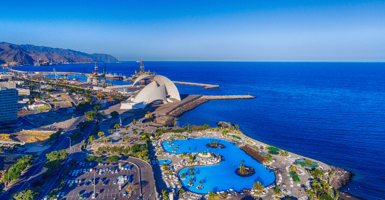
The largest city and also the capital of Tenerife. Formerly a strategic point on the trade routes between Europe, Africa and the Americas which led to many battles for this city. Santa Cruz de Tenerife is mainly famous for the extremely colorful carnival held here, the most famous after the world-famous carnival in Rio de Janeiro, Brazil. Worth seeing: Calle de Castillo - shopping promenade, Plaza de Espana, Plaza de Candelaria, Parque Martimo.
The Masca Gorge, located on the northwestern tip of the island of Tenerife, crosses a seven-million-year-old region of the Canary Islands. Although the route is not long (4 km), the elevation and irregular terrain increase its level of difficulty. It is worth taking care of appropriate clothing and footwear. However, the views make up for any physical difficulties ;)
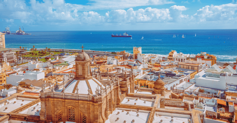
The capital of the island of Gran Canaria and also the largest city in the Canary Islands. The most beautiful area of the city is the historic district of Vegueta. It represents the oldest urban district, which was built in an ancient ravine. Another interesting landmark is the Christopher Columbus House, which was a stopping place for the famous explorer in the past.
Volcanic crater located about 10 km south of the capital of Gran Canaria. It is about 1000 meters in diameter and 200 meters deep. At its bottom there used to be a settlement, but now no one lives there anymore. It is not possible to go down there without special permission from the conservationist, but it is possible to admire its interior and go around it from the top of the Pico de Bandama hill (569 m. above sea level), which lies next to the crater.
A huge zoo with a botanical garden and various species of animals from all over the world. A unique place where both adults and children will find something for themselves - birds trotting between your legs, wild animals from which you are separated only by barely visible nets, shows of birds, dolphins and parrots and other interesting attractions await you in Palmitos Park. Besides, Palmitos Park offers its visitors to see a unique collection of orchids in the Orchid House, the Cactus Garden and a magical butterfly house.
Museum of windmills so characteristic of Fuerteventura's windy landscape. The windy nature of the island made it the granary of the entire archipelago as early as the 18th century.
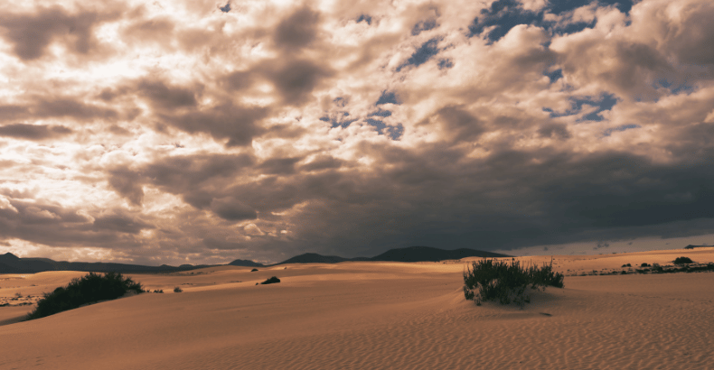
The Nature Reserve de las Dunas de Corralejo covers an area of 2,600 hectares. The area was classified as a natural park in 1994. Its main attraction is the huge dunes which were formed by sand that came here with the wind all the way from the Sahara, which is about 100 kilometers away from the northern coast of the island. As a result, you can almost feel like you are in the African desert here. Every year, kite flying competitions are held in the dunes.
The park was created on volcanic terrain, which owes its current appearance to a powerful eruption between 1730 and 1736. During this period, about 48 million3 lava flowed daily from the approximately 300 craters located in the area. To this day, in Timanfaya you can feel the volcanic nature of the island - the rocks a few centimeters underground are up to 100 °C, and at a depth of 10 meters the temperature reaches 600 °C. Park staff prove the veracity of the above measurements by organizing demonstrations involving throwing dry branches into pits in the ground, which immediately catch fire, or pouring water into fissures in the ground, which immediately boil and erupt like a geyser.
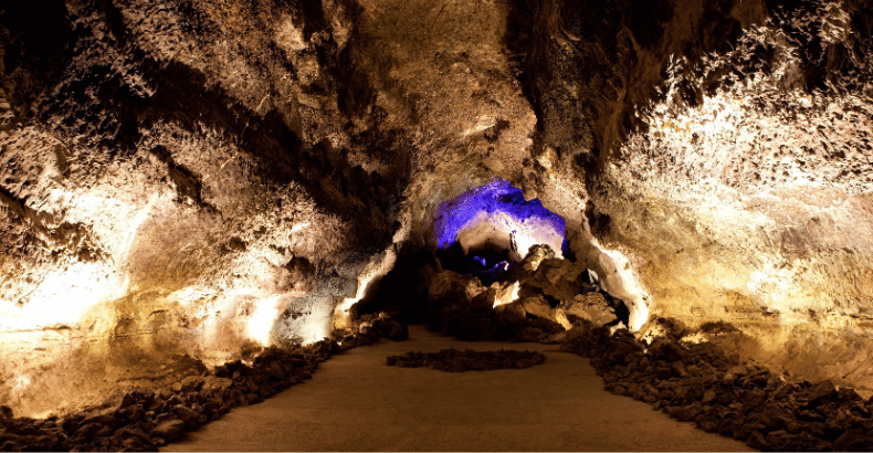
It is a cave formed by lava after the eruption of the La Corona volcano about 3,000 years ago. The route leads through different levels which allows you to observe different types of lava formations and the play of colors on the cave walls. Only a kilometer-long corridor is open to the public. Interestingly, the cave also serves as a concert hall capable of holding up to 300 people, and the Canary Islands Music Festival is held here in January and February.
